Drone Services
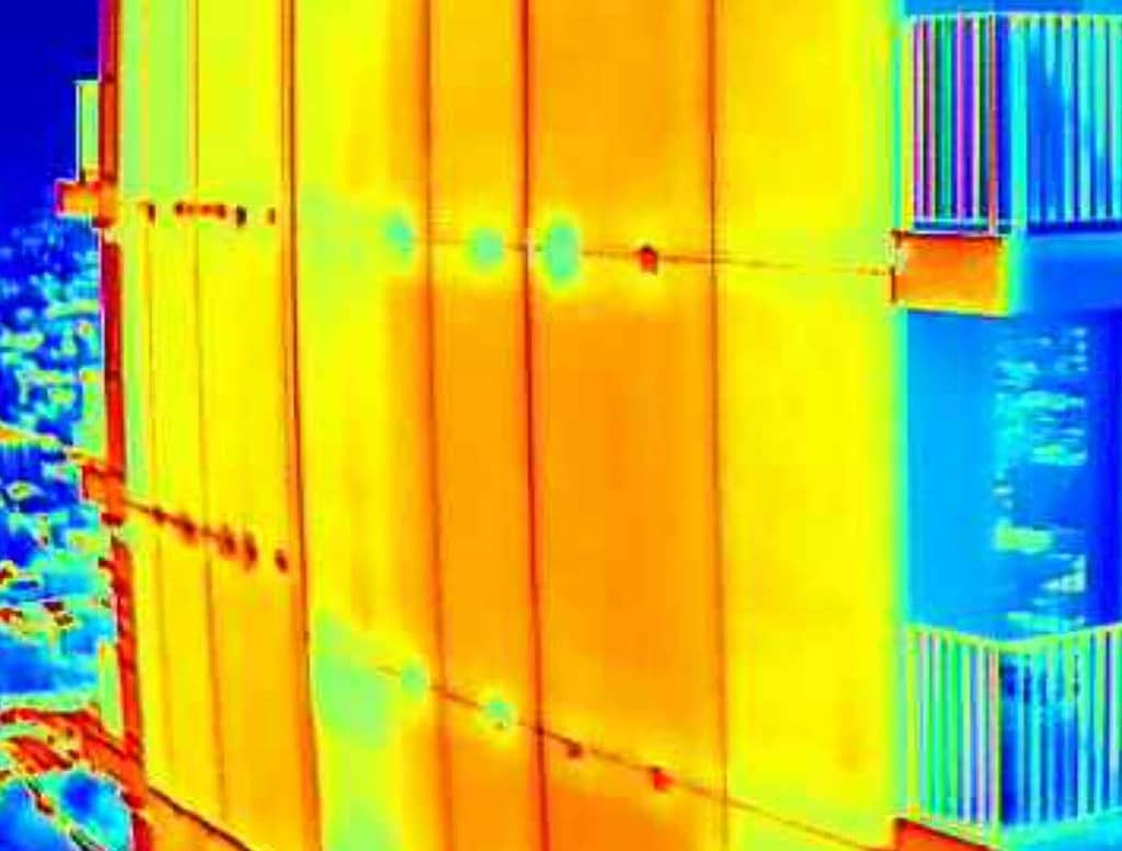
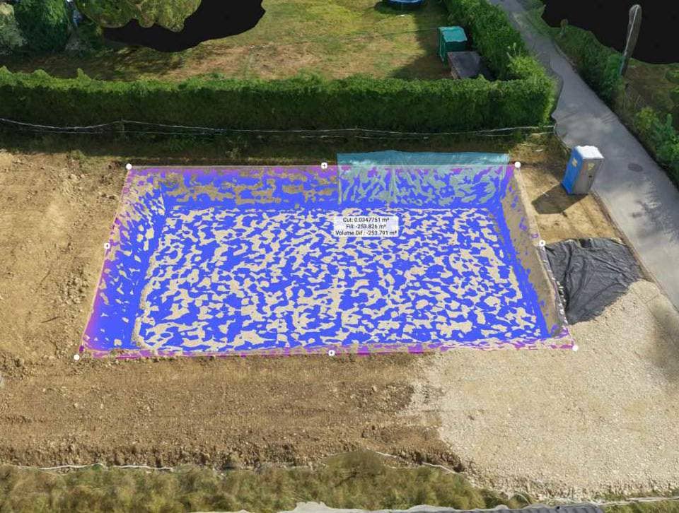
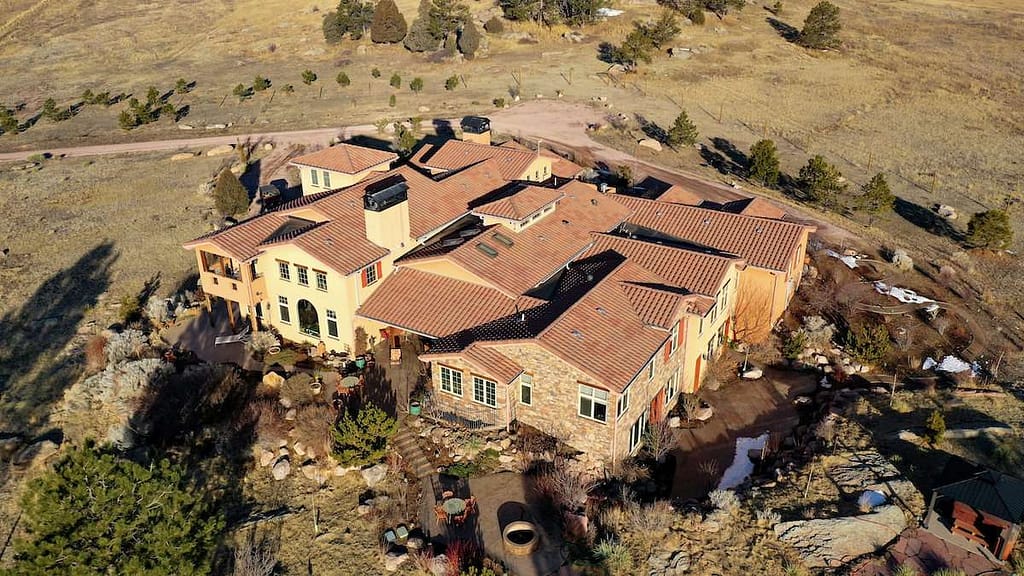
Click on the pictures below to go to our Buildings Inspections, Aerial Imagery and Maps & Volumes drone services pages.
On each of these you will see the sorts of results that Parhelion can produce for you. Many of the examples on these pages were made for commercial clients. All images are our own work (except where noted).
You need drone services if you want:
- to inspect your building’s exterior for defects that can lead to increasing repairs costs and energy losses over time.
- a view of your property from above that shows off its beauty and extent and makes it easy to sell.
- a map of your site for the purpose of making measurements or recording the locations of equipment or improvements.
- to verify the exact volume of building materials delivered to your construction site, prior to paying for them.
Parhelion Aerospace is dedicated to producing the highest quality aerial imagery and measurements. We can provide you with custom data from flights made at your location. These can be either the raw product or imagery finished to your specifications. Click on the photos above.


